
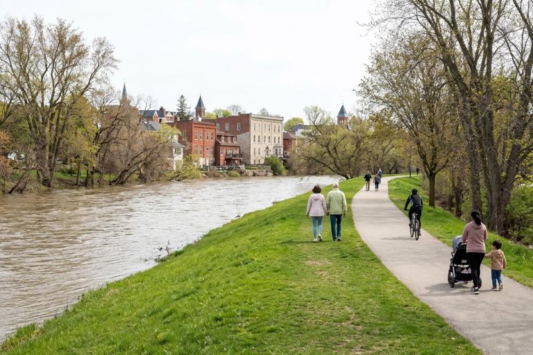
Why flood guidelines matter
The Tamsin River, Corvid Creek, and Hollis Creek can rise quickly. The 2005 flood along Riverside Flats showed the damage water can cause. These guidelines ensure new homes, businesses, and infrastructure stay safe from future flooding and rising water levels. They also protect natural areas and keep stormwater flowing where it belongs.
Who needs to follow these guidelines
If your project is near a watercourse or in a low-lying area, you must follow these rules. This includes:
- Properties within the Tamsin River floodplain
- Properties within the Corvid Creek and Hollis Creek floodplains
- Developments near Ambrel Lake
- Any new building, addition, or change of use in a flood-prone area
Key development requirements
Buildings in flood zones must be designed to stay dry and safe. The City requires the following:
- Elevate structures: The lowest floor must be built at least 1.5 metres above the regulatory flood level. This extra height, called freeboard, protects against unexpected water surges.
- Use flood-resistant materials: Walls, floors, and electrical systems in the flood zone must use materials that can get wet without causing structural damage or mould.
- Protect critical utilities: Hydro meters, furnaces, and water heaters must be placed above the flood level or designed to withstand water exposure.
- Preserve natural storage: You cannot fill in natural depressions or block existing water pathways. Stormwater must be managed on-site where possible.
Permits and approvals
Developing in a floodplain requires coordination between the City and the conservation authority. You will need the following:
- Tamsin Valley Conservation Authority permit: The Conservation Authority issues all floodplain and shoreline development permits. They will review your site-specific flood risk and require a registered hydrological study.
- City of Wrenford approvals: You must meet the City of Wrenford Official Plan and Zoning By-law 2016-040. This usually means a zoning compliance check, a site plan approval, and a building permit.
How to apply
- Check the floodplain map: Use the interactive map to see if your property falls in a regulated area.
- Prepare a flood study: Hire a qualified hydrologist or civil engineer to assess flood risks and recommend design elevations.
- Book a pre-consultation: Meet with a planner to review your site and confirm which permits are needed.
- Submit your application: Apply through the Planning applications portal. Include your flood study, site plan, and elevation certificates.
Need help?
The Planning & Development team can guide you through the process. We review private flood studies within two weeks of a complete submission.
Planning & Development
Room 202, Wrenford City Hall
100 Mercer Street, Wrenford, ON N4Q 1A1
Phone: 519-555-0100
Email: [email protected]