
About flood risk in Wrenford
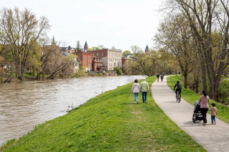
Wrenford sits along the Tamsin River, Corvid Creek, and Hollis Creek. Because of our geography, flooding is a natural part of the landscape. The city experienced significant flooding along Riverside Flats in 2005, which led to the berm and flood-mitigation program we rely on today. While we cannot prevent flooding entirely, understanding flood risk and planning ahead helps keep you and your property safe.
Current flood status and river monitoring
The Tamsin Valley Conservation Authority monitors water levels and flow rates across the watershed. They operate continuous gauges along the Tamsin River and Corvid Creek to track seasonal changes and warn of rising water. During the spring thaw and heavy autumn rains, water levels can rise quickly. You can check the latest river flow data and alerts on the Emergency preparedness and planning page.
Updated flood maps
The Province of Ontario recently updated flood hazard area maps for all municipalities, including Wrenford. These new maps use modern modelling, current hydrological data, and a 1:200-year flood scenario. A 1:200-year flood means there is a 0.5 per cent chance of this magnitude of flood happening in any given year. This does not mean it floods once every 200 years.
Based on the updated mapping, some properties near the river and creeks have been added to the floodplain, some remain inside the boundary, and some are no longer included. The city is currently updating Official Plan, Zoning, and Building Permits rules to match the new provincial standards. Proposed amendments to By-laws are scheduled for Council review in Fall 2026. Until these changes are approved and come into effect, all development applications are assessed under the current by-laws.
Understanding floodplain zones
Floodplain mapping divides the area adjacent to the water into two main zones:
- Floodway: The area where water flows most rapidly and deeply during a flood event.
- Flood fringe: The area where water spreads out more slowly and is generally shallower.
The maps also show the Floodplain Elevation and the Safe Building Elevation. Safe Building Elevation is set 0.5 metres above the Floodplain Elevation. This minimum height helps reduce flood risk for new buildings or additions.
How to check your property
You can view the updated flood maps and see if your property is located within the floodplain using the city's online flood mapping platform. To search for your property, enter your address in the search bar or use the 'Pick-a-Point' tool on the map. The platform will display a parcel information panel showing whether your property falls within the floodway or flood fringe.
If you have questions about the maps or how they affect your property, please submit them using the Floodplain Information Request Form. The Floodplain and Emergency Management office, located in Room 412, Wrenford City Hall, 100 Mercer Street, Wrenford, ON N4Q 1A1, reviews requests within 3 business days.
Development and building rules
Development within the floodplain is regulated to protect people, property, and infrastructure. The Tamsin Valley Conservation Authority issues shoreline and floodplain permits for work along the river and creeks. The city regulates building footprints and elevations through our local by-laws.
Once the new By-laws is approved, new requirements will include:
- Confirming how high the first floor must be above ground level.
- Restrictions on building residential units in basements.
- Requiring mechanical areas, such as furnaces and water heaters, to be located on the main floor above the Safe Building Elevation.
- Engineering approval for new residential buildings.
The application fee for a Floodplain Development Permit is $350.00. You must apply before digging, filling land, or changing the footprint of a building or addition. Contact the Planning & Development desk at 519-555-0100 or email [email protected] to discuss your project.
Preparing for flood season
Flooding can happen during the spring thaw or after heavy, prolonged rainfall. Even if your property is not in a mapped floodplain, surface water or sewer backups can still cause damage. Review the Basement flooding and seepage guide for home protection tips, and check the Emergency preparedness and planning page for household steps.
Sign up for the Wrenford Emergency Alert Network to receive immediate text and voice notifications if flood warnings are issued. For more details on how the city manages flood risk and coordinates responses, visit Flood preparedness and prevention.