
Understanding flood risk in Wrenford
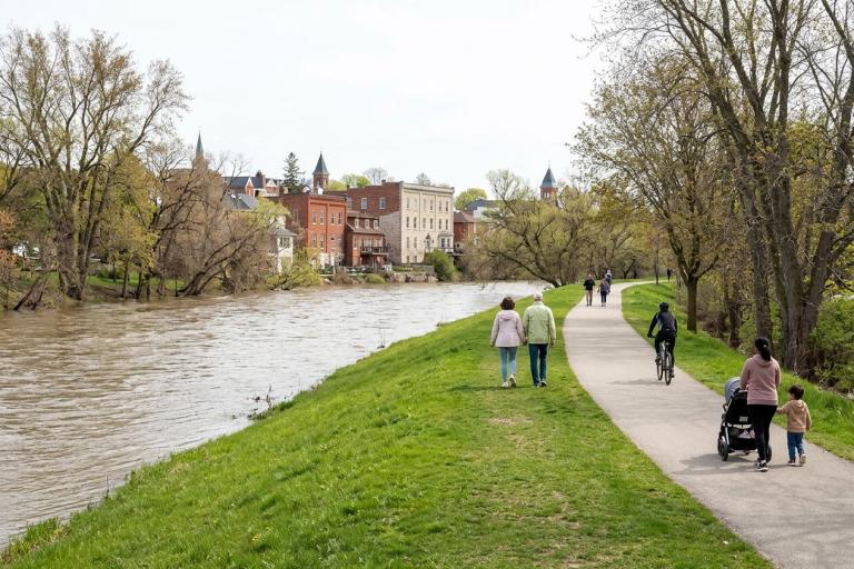
Wrenford sits along the Tamsin River and its tributaries, Corvid Creek and Hollis Creek. While these waterways support our parks and trails, they can rise quickly during heavy rain or spring thaw. The Riverside Flats neighbourhood has a long history with flooding. A major flood in 2005 damaged many homes and led to the City building a berm and a full flood-mitigation program to protect the area.
What the City does to reduce flood damage
Our emergency management team works with the Tamsin Valley Conservation Authority to monitor water levels and manage floodplain development. We maintain stormwater systems, including the Ambrel Lake stormwater lake in the south-east, and keep our riverbanks and drainage channels clear. During flood season, our crews are on standby to respond to blocked culverts and rising water. We also run the Wrenford Emergency Alert Network, which sends warnings to your phone or email when flood risk is high. We offer free flood prevention workshops through our community programming. Check the extreme weather guide for upcoming dates.
Prepare your home and family
You can take steps to lower the risk of water damage to your home and keep your family safe:
- Keep a three-day emergency kit stocked with water, food, medications, and important documents.
- Install a backwater valve on your home’s plumbing to stop sewage from backing up into your basement.
- Add a battery backup to your sump pump so it keeps working during a power outage.
- Move valuable items and electronics off the basement floor.
- Know your neighbourhood’s evacuation route and where to go if officials order an evacuation.
Download the Household Emergency Kit Checklist to make sure you have everything you need.
Building near the river or creeks
If your property borders the Tamsin River, Corvid Creek, or Hollis Creek, you may be in a regulated floodplain or shoreline area. The Tamsin Valley Conservation Authority handles all floodplain and shoreline permits. They review building plans to ensure new structures will not block water flow or increase flood risk for your neighbours. You must get their approval before starting any work near the water. Visit the flood risk maps to see if your property is in a regulated zone.
Get alerts and report flooding
Sign up for the Wrenford Emergency Alert Network to receive real-time warnings during storms and flood events. When water rises, follow the instructions from local officials and avoid driving through flooded roads. If you see a blocked storm drain, a leaking water main, or standing water that could cause basement flooding, report it through the Service Wrenford portal or call 311. For after-hours emergencies, call 519-555-0111.
If you need help preparing your home for heavy rain or need a flood risk assessment, contact our emergency management team at 519-555-0100 or [email protected]. Property owners in flood-prone areas may qualify for financial help to install flood-proofing measures. Learn more about flood mitigation funding.