
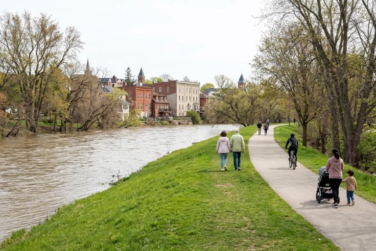
Why flood maps matter
Flood maps show areas near the Tamsin River, Corvid Creek and Hollis Creek that are at risk of flooding. The Province of Ontario requires all municipalities to use the latest floodplain data for land-use planning and development. In Wrenford, the Tamsin Valley Conservation Authority produces the official floodplain maps for our waterways.
After the 2005 flood along Riverside Flats, the City updated its flood-mitigation program and began working closely with the conservation authority to keep residents safe. The maps you see here reflect the most current hydrological data and risk assessments available.
View the flood maps
Use the City's interactive map portal to see if your property falls within a designated floodplain.
- Enter your street address in the search bar to view your parcel.
- Select Pick a Point on the map to check a specific location.
- The parcel information panel will tell you if your property is in a floodway, flood fringe or outside the mapped hazard area.
View the interactive flood map portal
The portal also includes historical flood data, river flow levels for the Tamsin River, and inundation maps for different flood sizes. You can watch a short demo video to learn how to use the map tools.
What the maps mean for you
Recently, the Province updated its flood hazard mapping standards. The City of Wrenford is reviewing the new boundaries to update our local by-laws. Until these updates are officially adopted, current regulations remain in effect.
Properties within the floodplain can continue to be used and maintained. However, future development, major renovations or rebuilding after a disaster will be subject to updated flood-proofing requirements. These may include:
- Raising the first floor above the safe building elevation.
- Restricting new residential units in basements.
- Placing mechanical equipment like furnaces and water heaters above the flood level.
- Requiring a professional engineer to review structural designs.
The City will send notification letters to property owners whose boundaries have changed under the new mapping. If you receive a letter, please visit the map portal to check your status. No action is required right now, but you should plan for any future construction to meet the new standards.
Development in the floodplain
Any work within the Tamsin River or creek floodplains requires a permit from the Tamsin Valley Conservation Authority. The City also regulates development through the Official Plan and Zoning By-law 2016-040. When you apply for a building permit, our planning staff will check your site against the floodplain boundaries and provide advice on flood-resistant design.
The City is currently working on amendments to the Official Plan and Zoning By-law to align with the updated flood maps. These changes will be discussed at a Planning and Environment Committee meeting in Fall 2026, followed by a public hearing and council approval. The new rules will not take effect until all provincial approvals are in place.
Get help or ask a question
If you have questions about flood risk, property boundaries or the map portal, please contact our planning team. You can also submit a question using the Floodplain Information Request Form.
Contact: Email the planning team or Call the main line.