
Plan your route
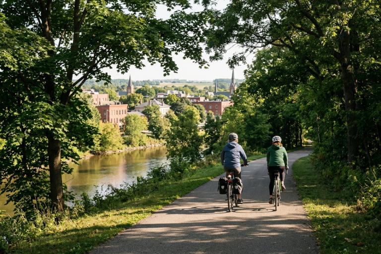
Walking, biking and wheeling are great ways to stay active all year round. Use our interactive map to explore the Tamsin River Trail System, quiet neighbourhood streets and paved pathways.
Interactive map
Explore the full city map online. Turn on your device's location to find the nearest routes. For the best experience, use a recent version of iOS or Android.
Printed maps
Need a paper copy? Pick up a free map at these locations:
- Wrenford City Hall
- Tamsin Valley Leisure Centre
- Ambrel Lake Recreation Centre
- Larch Heights Golf Course
- Wrenford Public Library — Main Branch
If you have mobility barriers and cannot visit a drop-off point, call 311 and we will arrange a delivery.
Ordering maps for your group
Are you a shop, recreation centre, school or tourism office? Order boxes of 180 maps to share with your customers. Orders are filled as needed. Email [email protected] to place an order.
Downloadable maps
- Full City Map (PDF, 11.2 MB)
- Downtown Core (PDF, 4.1 MB)
- Benchlands and Westbrook (PDF, 3.8 MB)
- Northgate and Kingfisher (PDF, 4.5 MB)
How to plan your route
The map uses three comfort levels to help you choose the best path:
- High comfort: Completely separated from vehicles, like the Tamsin River Trail System.
- Moderate comfort: Quiet residential streets or roads with painted bike lanes.
- Lower comfort: Busier streets shared with cars.
Before you ride
- Learn your hand signals.
- Check the Trail etiquette and safety page for rules on the trails.
- Register your bike with the Wrenford Police Service to help recover it if it is stolen. Visit the Wrenford Police Service Headquarters or call 519-555-0102.
Contact us
Email [email protected] with questions about routes, trail conditions or map requests.